Every photograph on discovernorthwesttasmania.com.au shows the real place it illustrates. Images are used under the open licences listed below; we have resized and compressed them for fast loading but not otherwise altered them. Thank you to every photographer who shares their work.
| Image | Subject | Photographer | Licence | Source |
|---|---|---|---|---|
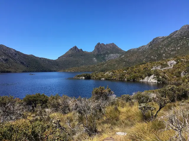 |
Cradle Mountain rising above Dove Lake in Cradle Mountain-Lake St Clair National Park | BennyG3255 | CC BY-SA 4.0 | Source |
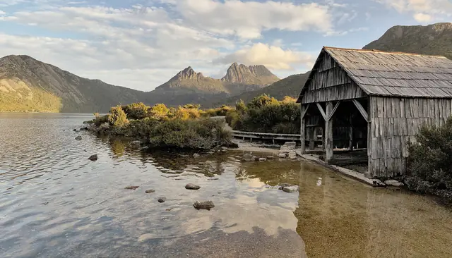 |
The historic Dove Lake boatshed with Cradle Mountain behind | Thennicke | CC BY-SA 4.0 | Source |
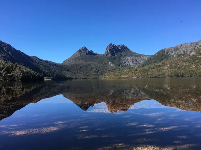 |
Cradle Mountain seen across the water of Dove Lake | BennyG3255 | CC BY-SA 4.0 | Source |
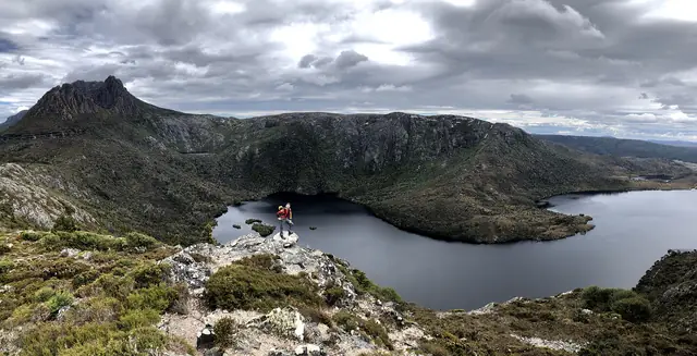 |
Overlooking Dove Lake from the slopes above | Ovico | CC BY-SA 4.0 | Source |
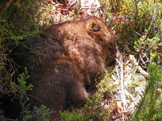 |
A common wombat grazing at Cradle Mountain | D. Gordon E. Robertson | CC BY-SA 3.0 | Source |
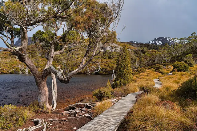 |
Wombat Pool, a tarn on the Cradle Mountain walking tracks | Christopher Harriot from Penang, Malaysia | CC BY 2.0 | Source |
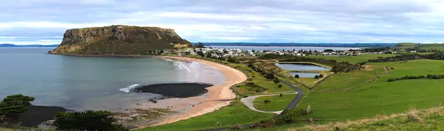 |
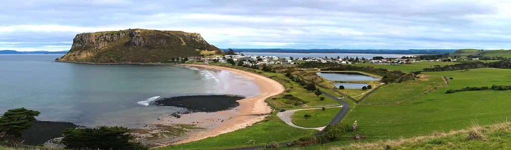
Panorama of Stanley township and The Nut on Tasmania’s north-west coast | Taspictures | CC0 | Source |
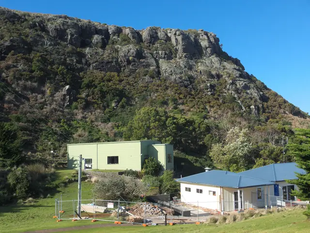 |
The chairlift station at the base of The Nut in Stanley | Gary Houston | CC0 | Source |
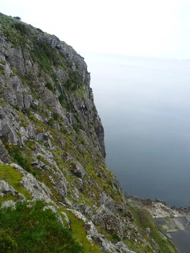 |
Looking north from the top of The Nut, Stanley | Peripitus | CC BY 3.0 | Source |
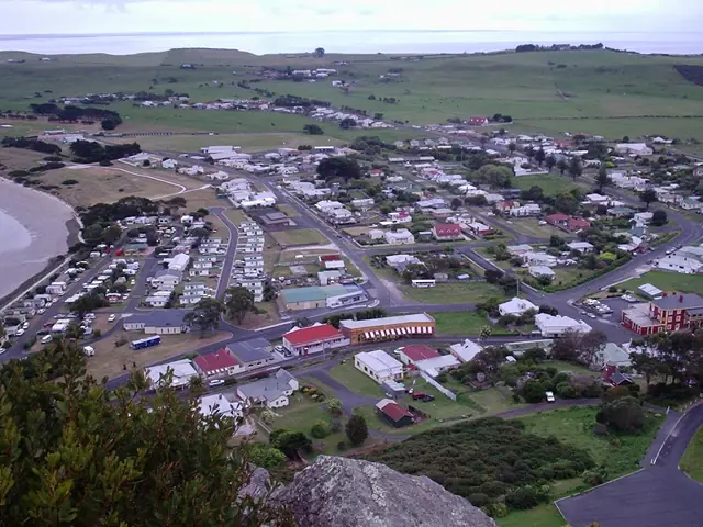 |
Stanley seen from the walking path up The Nut | Peripitus | CC BY-SA 3.0 | Source |
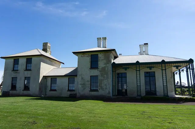 |
Highfield Historic Site, a colonial homestead near Stanley | Norton Ip from Hong Kong | CC BY-SA 2.0 | Source |
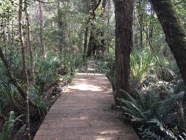 |
Boardwalk through tall forest in the Tarkine region of north-west Tasmania | Tangerineduel | CC BY 4.0 | Source |
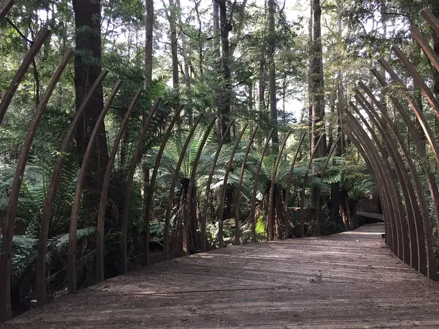 |
Rainforest canopy and ferns in the Tarkine | Tangerineduel | CC BY 4.0 | Source |
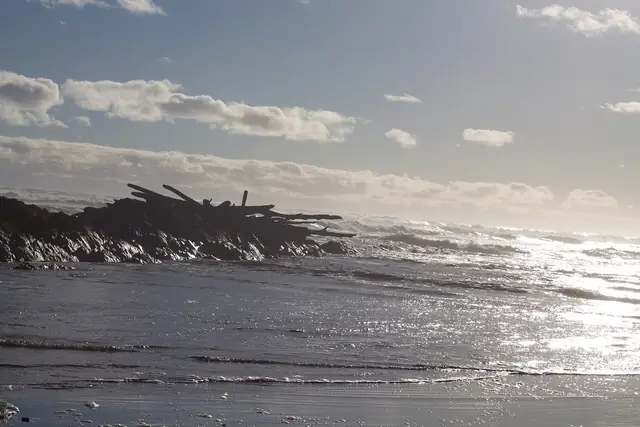 |
The Edge of the World lookout at the mouth of the Arthur River | Balaji.md au | CC BY-SA 4.0 | Source |
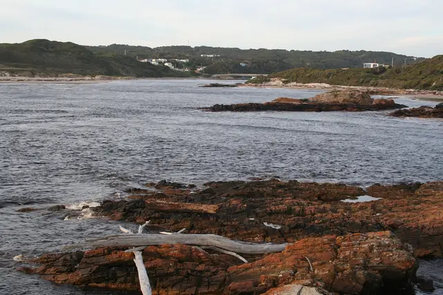 |
The mouth of the Arthur River on Tasmania’s west coast | Tirin | CC BY-SA 3.0 | Source |
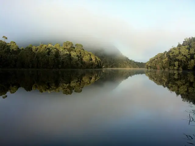 |
Early morning reflections on the Pieman River, Arthur-Pieman Conservation Area | Helenpearly | CC BY-SA 4.0 | Source |
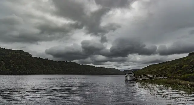 |
The Pieman River winding through forest | Steven Penton from Bakers Beach, Tasmania Australia | CC BY 2.0 | Source |
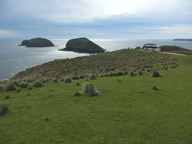 |
Coastal landscape at Cape Grim with The Doughboys offshore | Gary Houston | CC0 | Source |
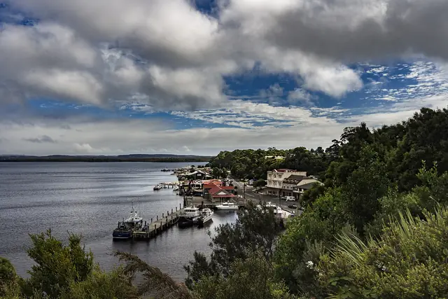 |
Strahan waterfront on Macquarie Harbour | Steven Penton from Bakers Beach, Tasmania Australia | CC BY 2.0 | Source |
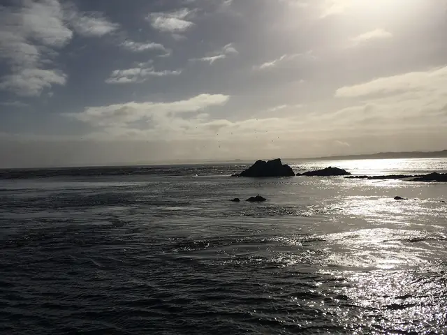 |
Macquarie Harbour near Strahan on Tasmania’s west coast | HilACT | CC BY-SA 4.0 | Source |
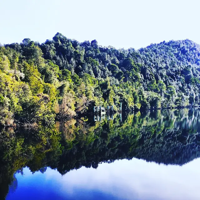 |
Forest reflected in the still Gordon River on a calm day | Katkley | CC BY-SA 4.0 | Source |
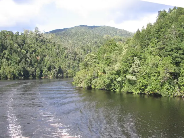 |
A bend in the Gordon River seen from a cruise boat | Felix Andrews (Floybix) | CC BY-SA 3.0 | Source |
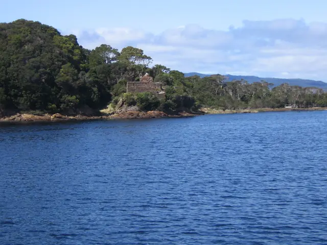 |
Macquarie Harbour near Sarah Island, site of the former penal settlement | Scott Davis | CC BY 2.5 | Source |
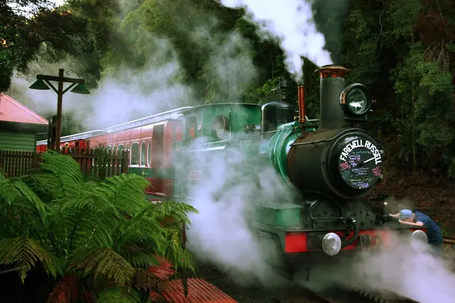 |
A train on the West Coast Wilderness Railway | Christopher Neugebauer from Hobart, Australia | CC BY-SA 2.0 | Source |
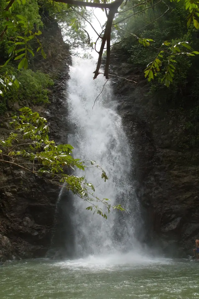 |
Montezuma Falls plunging through rainforest near Rosebery | avidd | CC BY 2.0 | Source |
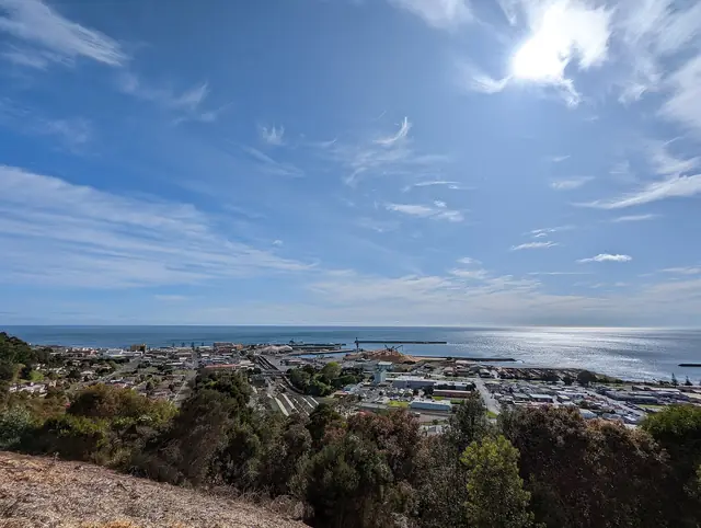 |
View over Burnie from the Upper Burnie lookout | Psypherium | CC0 | Source |
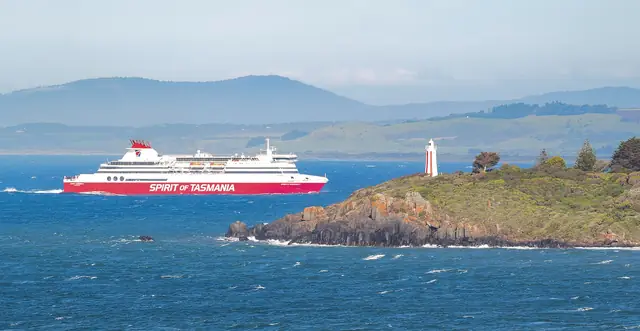 |
Spirit of Tasmania ferry entering the Mersey River at Devonport | Cody Williams | CC BY-SA 2.0 | Source |
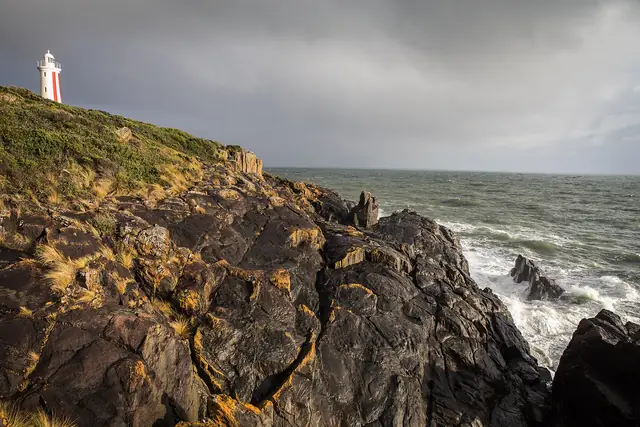 |
Mersey Bluff Lighthouse at Devonport | K7slater | CC BY-SA 4.0 | Source |
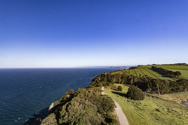 |
View east along the coast from Table Cape near Wynyard | Steven Penton from Bakers Beach, Tasmania Australia | CC BY 2.0 | Source |
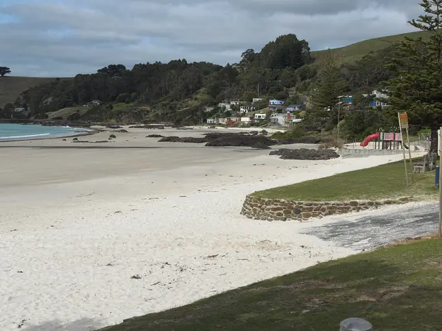 |
The clear water and white sand of Boat Harbour Beach | Gary Houston | CC0 | Source |
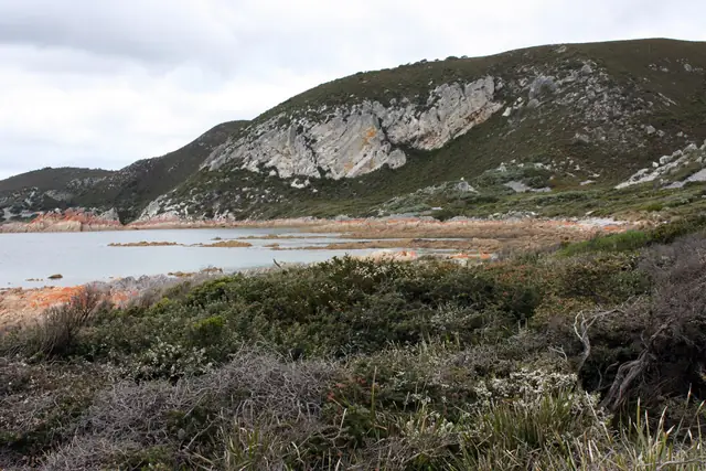 |
Rugged coastline of Rocky Cape National Park | Robyn Jay from Sydney, Australia | CC BY-SA 2.0 | Source |
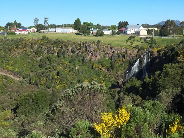 |
Waratah Falls and the Waratah River valley | Gary Houston | CC0 | Source |
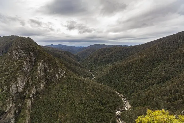 |
Looking into Leven Canyon from a lookout | Steven Penton from Bakers Beach, Tasmania Australia | CC BY 2.0 | Source |
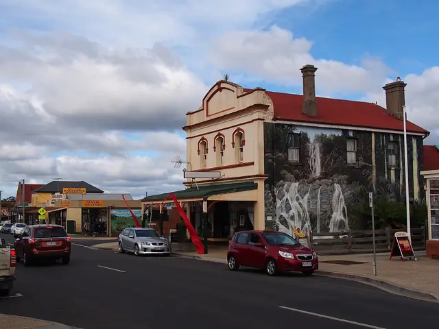 |
Painted murals on buildings in Sheffield, the Town of Murals | rheins | CC BY 3.0 | Source |
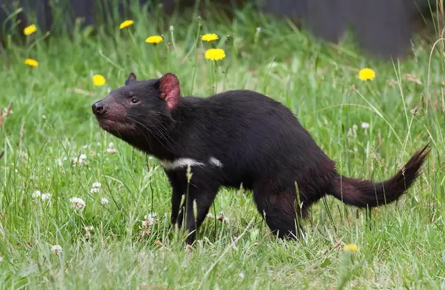 |
A Tasmanian devil at a conservation park | JJ Harrison (https://www.jjharrison.com.au/) | CC BY-SA 3.0 | Source |
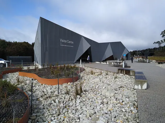 |
Cradle Mountain Visitor Centre at the park entrance | Mx. Granger | CC0 | Source |
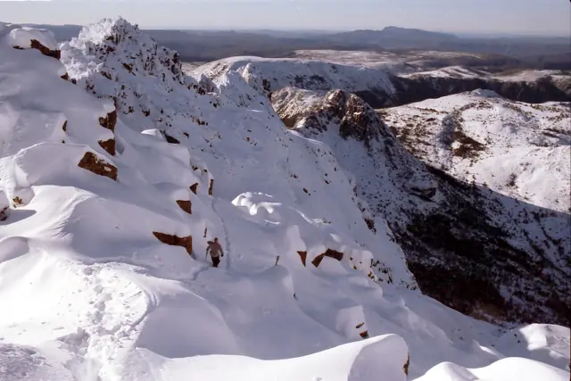 |
The summit ridge of Cradle Mountain | Stefan Karpiniec | CC BY 2.0 | Source |
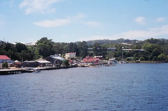 |
Strahan seen from the water on Macquarie Harbour | M. Murphy | Public domain | Source |
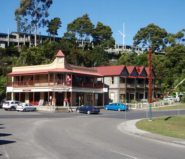 |
Part of the main street of Strahan | VirtualSteve | CC BY-SA 3.0 | Source |
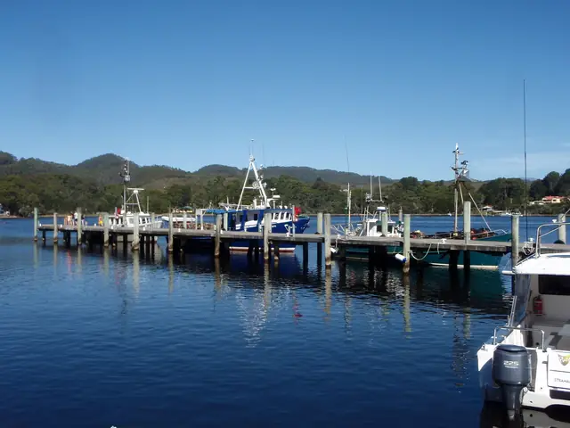 |
Fishing vessels in the port at Strahan | VirtualSteve | CC BY-SA 3.0 | Source |
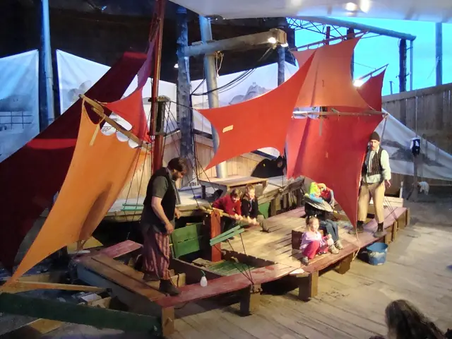 |
The Ship That Never Was being performed in Strahan | Tirin - aka Takver - www.takver.com | CC BY-SA 3.0 | Source |
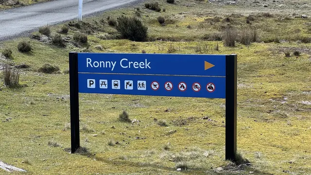 |
Ronny Creek sign, Cradle Mountain | Geraldshields11 | CC BY-SA 4.0 | Source |


Licences: CC BY and CC BY-SA licences require attribution (above); CC BY-SA images remain under the same licence. CC0 and public-domain images are free of restrictions. If you are a photographer and believe an image is incorrectly credited, please contact us.